

News
Sometimes in this job, I finish a newsletter just in time for events to crop up to require another! This week is one of those weeks as drought conditions are impacting the Province and HRM services. Here’s an update on park closures and water conservation.
Park Shutdown
The big event impacting HRM is the Province’s closure of the woods, which includes municipal parks. It’s been a bit COVID deja vu for all of us in HRM as there was no advanced heads up to prepare and so everyone has been scrambling to respond all week. This isn’t the first time that dry conditions have impacted HRM’s parks. This also arose as an issue in 2023. Given the changing climate and the drier summers we’ve been experiencing and that this is the second time in the last few years that the Province has closed the woods, HRM probably needs to have a more developed park closure contingency plan that is on the shelf and ready to be implemented. That is something I will discuss with Parks in future (there is no point right now while they’re in the midst of all of this).
The main public question that has been coming my way is what’s open and what’s not. The Province’s closure is for all lands defined as Woods in the Forests Act, which includes forested land, rock barren, brush land, dry marsh, bog or muskeg. What this means in District 5 is easy to figure out in many instances. It’s clear that a park like Cyril Smith off Lancaster and Sea King is now closed. It’s definitely all woods! On the other side of the coin, parks like Dartmouth Common and Sullivan’s Pond are clearly open because, although they have trees, they’re not forests, they’re landscaped open spaces. The main questions have been about the in between spaces. Parks is erecting barricades in places, but they aren’t planning to barricade the closed portions of every park. HRM has over 900 park spaces and barricading every closed portion is an impossible task. So we’re all left trying to make best judgement calls.
In talking to Parks yesterday and today, this is my working understanding of what is open and what is closed in District 5 (and nearby). This isn’t meant to be an exhaustive or official list (it’s what I have gathered up and talked through with Parks), but it should help provide some guidance.
Open:
- Sullivan’s Pond
- Dartmouth Common
- Starr Park
- Ferry Terminal Park
- Victoria Park
- Northbrook Park
- Farrell Street Park
- Brule Street Park
- Brownlow Park
- Maynard Lake Park
Closed:
- Cyril Smith Park
- Brookdale Crescent Park
- Wyndholme Park
Partially Open/Closed:
- Oathill Lake Park (all trails closed but access to the beach area permitted from the Oathill Crescent entrance only)
- Penhorn Lake Park (beach side is open, trail through the woods on the other side of the Lake is closed)
- Birch Cove Park (beach is open, but pathways to it through the wooded areas of the Park are closed. Access the beach from the parking lot off Oakdale Crescent)
- Harbour Trail (the wooded sections by NSCC, and between Boundary and Tupper is closed, the rest is open)
- Findlay Community Centre Park (the wooded area is closed for pathway construction already)
- Jason MacCullough/Pinehill (the playground area is open, trail across Pinehill is closed)
- Albro Lake Park (the beach is open, areas along boardwalk that are wooded are closed)
- Maybank Park (sports fields open, wooded areas adjacent to fields and Crichton Park Elementary are closed)
- Shubie Park (sports field, pump track, beach, and Fairbanks Centre are open, all trails are closed)
- Silvers Hill Park (viewing stands area is open, wooded area to the side is closed)
- North Woodside Community Centre Park (playground areas is open, wooded area to the side of the community centre is closed)
- Grahams Grove Park (wooded area is closed, open lawn space, building, and docks are open)
The Province and HRM are really expecting people to mostly use their own situational awareness: does it feel like walking in the woods? If so, it’s woods and closed! Hopefully it will rain soon!

Water Conservation
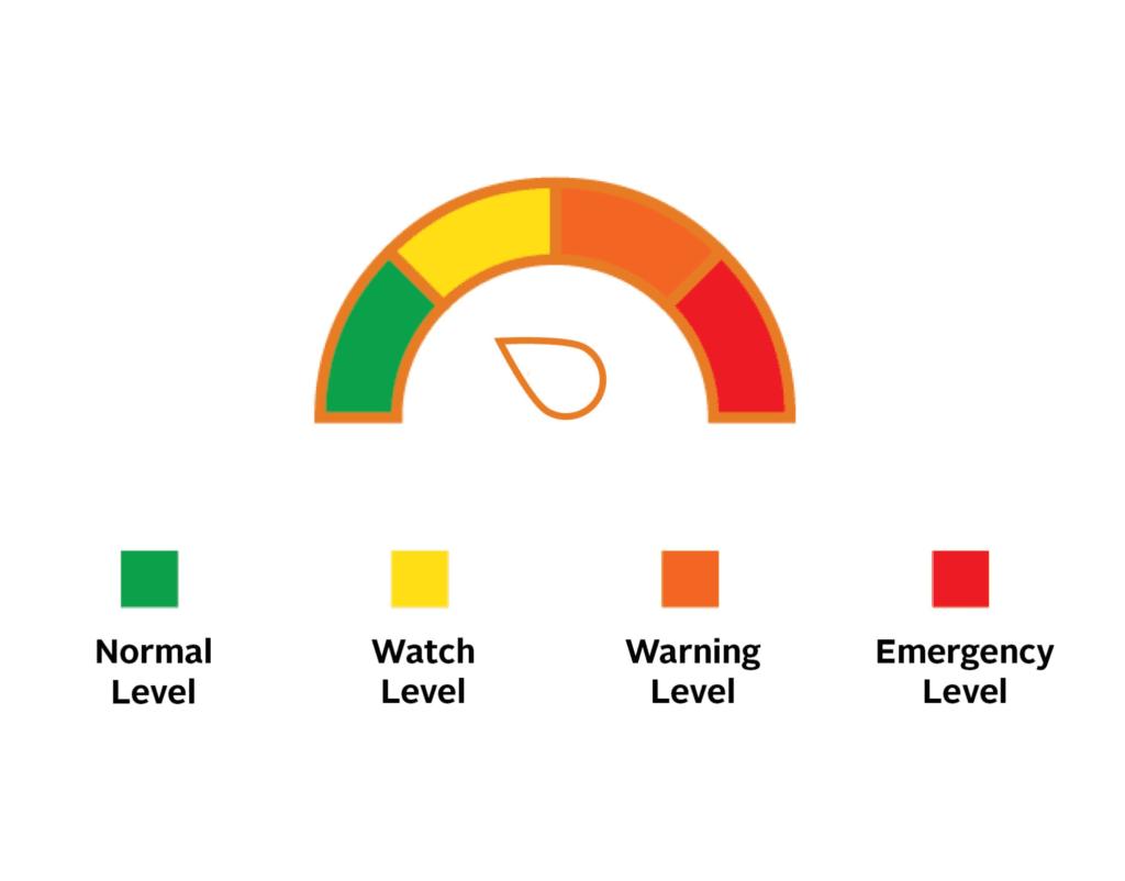
The drought conditions are lowering lake levels all across the Province and HRM isn’t immune. As a result, Halifax Water is asking everyone to voluntarily reduce consumption. This applies to both customers who draw water from Lake Major (Dartmouth) and Pockwock (Halifax/Bedford/Sackville). Halifax Water has four phases to manage scarcity in the water supply and while conditions are still considered normal for the purposes of supply, they’re on the verge of tipping into “watch” status. This is why Halifax Water is asking for voluntary reductions at this time. Restrictions could become mandatory if the water supply enters the “watch” phase. With no significant rain in the near-term forecast an eventual watch designation for the water supply is a strong possibility.
Halifax Water is asking folks to think about the following as ways to conserve water:
Inside Activities:
- If it’s yellow, let it mellow. Depending on the efficiency of your toilet, each flush uses between 6 to 26 litres of water
- Shorten your showers. Cut back on the frequency and length of showers.
- Turn off the tap when not in use. Turn the tap off when brushing your teeth, shaving, washing your face etc
- Wash only full loads of laundry and dishes
- Take frozen food out of the freezer early to allow time to thaw without running under water
Outside Activites:
- Watering lawns
- Washing vehicles
- Filling pools
- Sweep driveways and walkways instead of using water
Hopefully we’ll get some rain late next week!
Is the sign at Brookdale Cresent official? Residents can’t walk down to the lake? I thought it must be a prank.
It’s official. The pathway along that portion of the lake goes through a wooded area and is closed.
It looks like the trail beginning at Graham’s grove that follows the lake on the left and highway on the right is closed? There is a sign posted on a tree but it’s VERY hidden and obscure. Everyday people are running, walking their dogs along there. I only found out by accident.. someone pointed it out to me. If it is indeed closed, HRM needs to run some caution tape from the tree/sign over to the permanent planter so it gets people’s attention.
HRM has signage on that end as the trail is basically a dead-end since a connection up to the highway and over the old Y lands that doesn’t involve going through the woods doesn’t formally exist. The trail up to the the bridge is fine though if people want to walk and then walk back. It’s just the portion below Brookdale Crescent that is closed because it is wooded.
The fire fighters and everyone helping them are my heroes. We should start best fire station in Hrm. Thank you to all involved all the people be hind the seen too.
Thank you